トライアルで無料 Gis product made by aerial mapping from a drone lidar scan and multispectral camera gives ndvi and nir effect elevation scan of a ストックイラスト gis product made by aerial mapping from a drone lidar scan and multispectral camera gives ndvi and nir effect elevation scan of a
トライアルで無料 Gis product made by aerial mapping from a drone lidar scan and multispectral camera gives ndvi nir effect elevation model of river ベクターイラスト gis product made by aerial mapping from a drone lidar scan and multispectral camera gives ndvi nir effect elevation model of river
トライアルで無料 Gis product made by aerial mapping from a drone lidar scan and multispectral camera gives ndvi nir effect elevation of forest area ベクターイラスト gis product made by aerial mapping from a drone lidar scan and multispectral camera gives ndvi nir effect elevation of forest area
トライアルで無料 Elevation model of a forest area with ditches gis product made by aerial mapping from drone lidar scan and multispectral camera ロイヤリティフリーのイラスト elevation model of a forest area with ditches gis product made by aerial mapping from drone lidar scan and multispectral camera
トライアルで無料 Elevation scan of a forest area with a meandering river gis product made by aerial mapping from a drone lidar scan and ストックイラスト elevation scan of a forest area with a meandering river gis product made by aerial mapping from a drone lidar scan and
トライアルで無料 Gis product made by aerial mapping from a drone lidar scan and multispectral camera gives ndvi nir effect elevation model of swamp ロイヤリティフリーのイラスト gis product made by aerial mapping from a drone lidar scan and multispectral camera gives ndvi nir effect elevation model of swamp
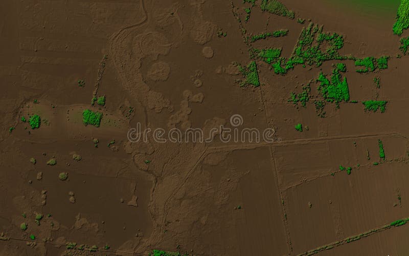
トライアルで無料 Elevation model of a river area with a forest gis product made by aerial mapping from a drone lidar scan and multispectral camera ベクターイラスト elevation model of a river area with a forest gis product made by aerial mapping from a drone lidar scan and multispectral camera
トライアルで無料 Gis product made by aerial mapping from a drone lidar scan and multispectral camera gives ndvi nir effect elevation model of swamp ロイヤリティフリーのイラスト gis product made by aerial mapping from a drone lidar scan and multispectral camera gives ndvi nir effect elevation model of swamp
トライアルで無料 Elevation model of a river area with a small trees gis product made by aerial mapping from a drone lidar scan and multispectral ベクターイラスト elevation model of a river area with a small trees gis product made by aerial mapping from a drone lidar scan and multispectral
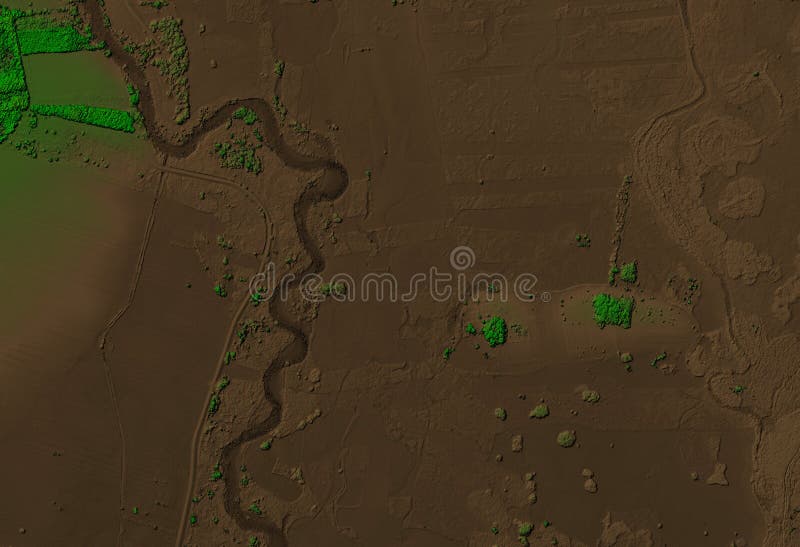
トライアルで無料 Elevation scan of a flat area with a meandering river gis product made by aerial mapping from a drone lidar scan and multispectral ロイヤリティフリーのイラスト elevation scan of a flat area with a meandering river gis product made by aerial mapping from a drone lidar scan and multispectral
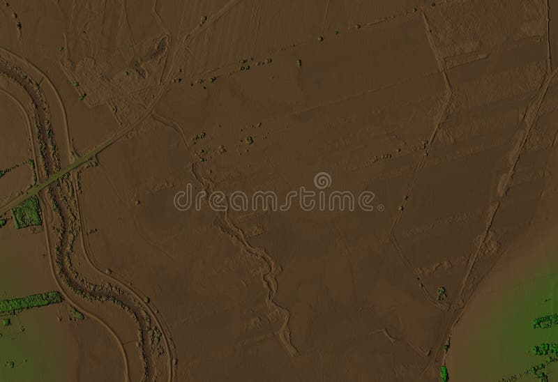
トライアルで無料 Elevation model of a river area with a ditches gis product made by aerial mapping from a drone lidar scan and multispectral camera ロイヤリティフリーのイラスト elevation model of a river area with a ditches gis product made by aerial mapping from a drone lidar scan and multispectral camera
トライアルで無料 Elevation scan of a forest area with meandering river gis product made by aerial mapping from drone lidar and multispectral camera ベクターイラスト elevation scan of a forest area with meandering river gis product made by aerial mapping from drone lidar and multispectral camera
トライアルで無料 Elevation scan of a forest area with meandering river gis product made by aerial mapping from drone lidar and multispectral camera ベクターイラスト elevation scan of a forest area with meandering river gis product made by aerial mapping from drone lidar and multispectral camera